
Precinct Maps and Polling Place Information
Find My Polling Place
Look up your polling place by address using the Find My Polling Place tool! You can also view the complete list of polling places in PDF format.
Central Polling Places
Voters can cast their ballot at their assigned polling place or at a central polling place in Boone County. Central polling places are open on Election Day from 6am to 7pm and are located at:
- Boone County Government Center, 801 E. Walnut, Columbia
- Friendship Baptist Church, 1707 Smiley Ln, Columbia
- Woodcrest Chapel, 2201 W. Nifong Blvd, Columbia
District Map Viewer
Look up your districts using the District Map Viewer.
Map Gallery
The map gallery below contains a collection of maps created for viewing current voting district information for Boone County including precinct, commission districts and legislative districts. These maps may be viewed through an interactive web viewer with panning and zooming functionality or may be viewed and downloaded as pdf documents.
The map gallery is organized into the follow eight sections:
- Voting Precincts
- Commission Districts
- U.S. House Districts
- Missouri Legislative Districts
- School Districts
- City of Columbia Ward Districts
- Roads
- Civil Townships
Voting Precincts
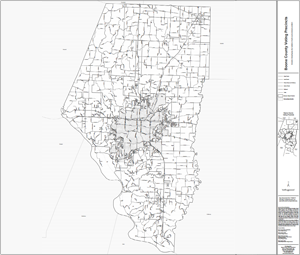
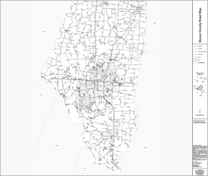
County Map of Precincts
(current as of 4/15/2025
Download the County Map of Precincts in PDF format
(generated 1/21/2025)
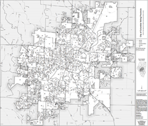
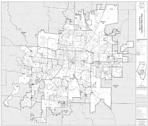
City of Columbia Map of Precincts
(current as of 4/15/2025)
Download the City of Columbia Map of Precincts in PDF format
(generated 1/21/2025)
Back to Top
Commission Districts
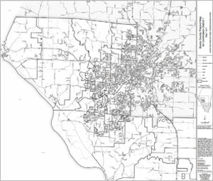
Commission District 1 Precinct Map
(current as of 4/15/2025)
Download the Commission District 1 Precinct Map in PDF format
(generated 1/21/2025)
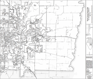
Commission District 2 Precinct Map
(current as of 4/15/2025)
Download the Commission District 2 Precinct Map in PDF format
(generated 1/21/2025)
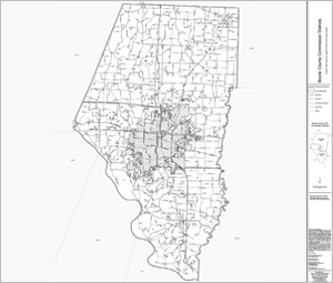
County Map of Commission Districts
Download the County Map of Commission Districts in PDF format
(generated 1/21/2025)
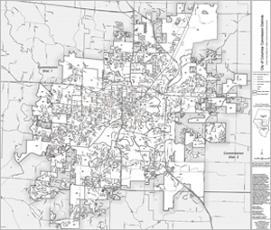
City of Columbia Map of Commission Districts
Download the City of Columbia Map of Commission Districts in PDF format
(generated 1/21/2025)
Back to Top
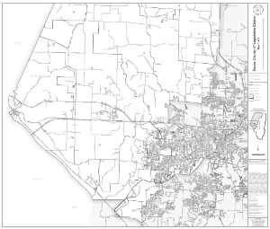
U.S. House Districts
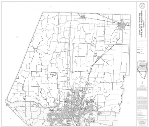
U.S. House District 4 Precinct Map
(current as of 4/15/2025)
Download the U.S. House District 4 Precinct Map in PDF format
(generated 1/21/2025)
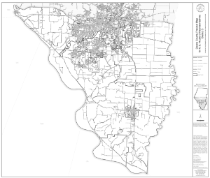
U.S. House District 3 Precinct Map
(current as of 4/15/2025)
Download the U.S. House District 3 Precinct Map in PDF format
(generated 1/21/2025)
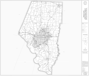
County Map of U.S. House Districts
Download the County Map of U.S. House Districts in PDF format
(generated 1/21/2025)
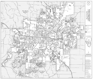
City of Columbia Map of U.S. House Districts
Download the City of Columbia Map of U.S. House Districts in PDF format
(generated 1/21/2025)
Back to Top
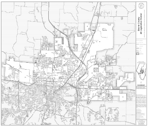
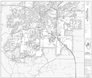
Missouri Legislative Districts
Legislative District 44
(current as of 4/15/2025)
Download the Legislative District 44 in PDF format
(generated 1/21/2025)
Legislative District 45
(current as of 4/15/2025)
Download the Legislative District 45 in PDF format
(generated 1/21/2025)
Legislative District 46
(current as of 4/15/2025)
Download the Legislative District 46 in PDF format
(generated 1/21/2025)
Legislative District 47
(current as of 4/15/2025)
Download the Legislative District 47 in PDF format
(generated 1/21/2025)
Legislative District 50
(current as of 4/15/2025)
Download the Legislative District 50 in PDF format
(generated 1/21/2025)
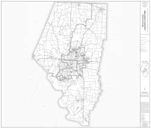
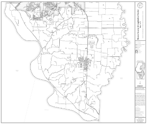
County District Map of Missouri Legislative Districts
(current as of 4/15/2025)
Download the County District Map of Missouri Legislative Districts in PDF format
(generated 1/21/2025)
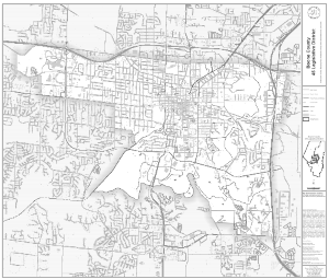
City of Columbia District Map of Missouri Legislative Districts
Download the City of Columbia District Map of Missouri Legislative Districts in PDF format
(generated 1/21/2025)
Back to Top
School Districts
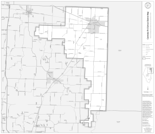
Centralia R-6 School District Map
Download the Centralia R-6 School District Map in PDF format
(generated 1/21/2025)
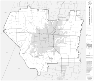
Columbia Public Schools District Map
Download the Columbia Public Schools District Map in PDF format
(generated 1/21/2025)
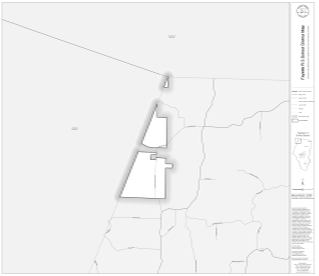
Fayette R-3 School District Map
Download the Fayette R-3 School District Map in PDF format
(generated 1/21/2025)
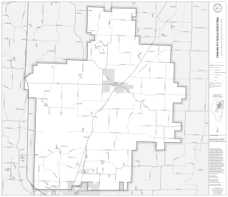
Hallsville R-4 School District Map
Download the Hallsville R-4 School District Map in PDF format
(generated 1/21/2025)
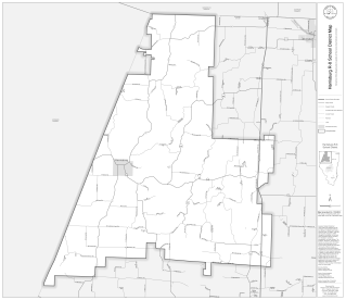
Harrisburg R-8 School District Map
Download the Harrisburg R-8 School District Map in PDF format
(generated 1/21/2025)
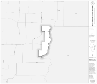
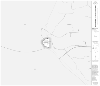
North Callaway R-1 School District Map
Download the North Callaway R-1 School District Map in PDF format
(generated 1/21/2025)
New Franklin R-1 School District Map
Download the New Franklin R-1 School District Map in PDF format
(generated 1/21/2025)
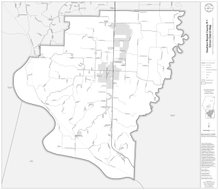
Southern Boone County R-1 School District Map
Download the Southern Boone County R-1 School District Map in PDF format
(generated 1/21/2025)
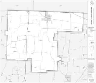
Sturgeon R-5 School District Map
Download the Sturgeon R-5 School District Map in PDF format
(generated 1/21/2025)
Back to Top
City of Columbia Ward Districts
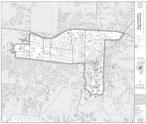
City of Columbia Ward 1 District Map
(current as of 4/15/2025)
Download the City of Columbia Ward 1 District Map in PDF format
(generated 1/21/2025)
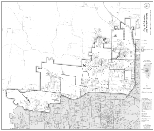
City of Columbia Ward 2 District Map
(current as of 4/15/2025)
Download the City of Columbia Ward 2 District Map in PDF format
(generated 1/21/2025)
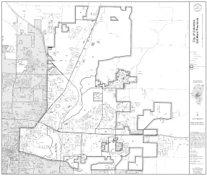
City of Columbia Ward 3 District Map
(current as of 4/15/2025)
Download the City of Columbia Ward 3 District Map in PDF format
(generated 1/21/2025)
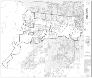
City of Columbia Ward 4 District Map
(current as of 4/15/2025)
Download the City of Columbia Ward 4 District Map in PDF format
(generated 1/21/2025)
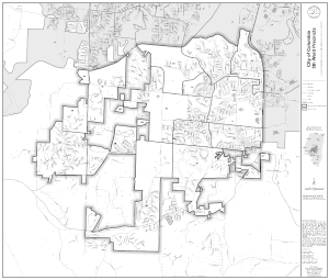
City of Columbia Ward 5 District Map
(current as of 4/15/2025)
Download the City of Columbia Ward 5 District Map in PDF format
(generated 1/21/2025)
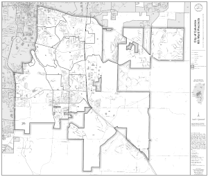
City of Columbia Ward 6 District Map
(current as of 4/15/2025)
Download the City of Columbia Ward 6 District Map in PDF format
(generated 1/21/2025)
Back to Top
Roads
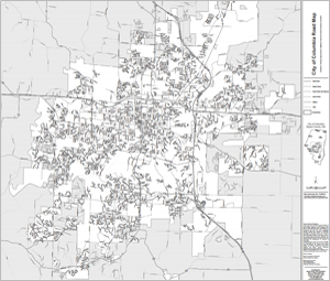
City of Columbia Road Map
Download the City of Columbia Road Map in PDF format
(generated 1/21/2025)
Back to Top
Civil Townships
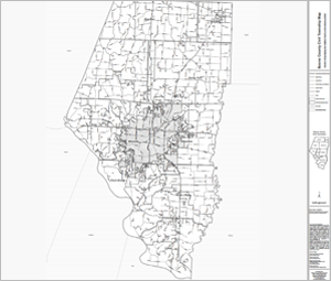
County District Map of Civil Townships
(current as of 4/15/2025)
Download the County District Map of Civil Townships in PDF format
(generated 1/21/2025)
Back to Top